4
business elite canada
H
SEPTEMBER 2015
that is both timely and valuable. Whether
they’re taking images of a pipeline stretch-
ing across rough terrain, fire mapping,
inspecting flare stacks or assessing crop
vegetation, ING’s aircraft are venturing into
areas that are often too dangerous or too
costly for their human counterparts.
“Monitoring, inspection and mapping …
those are the three things we do,” Glenn
explained. “We can map 2,000 hectares in
a single flight and create a 2D view as well
as a 3D model of what we see.”
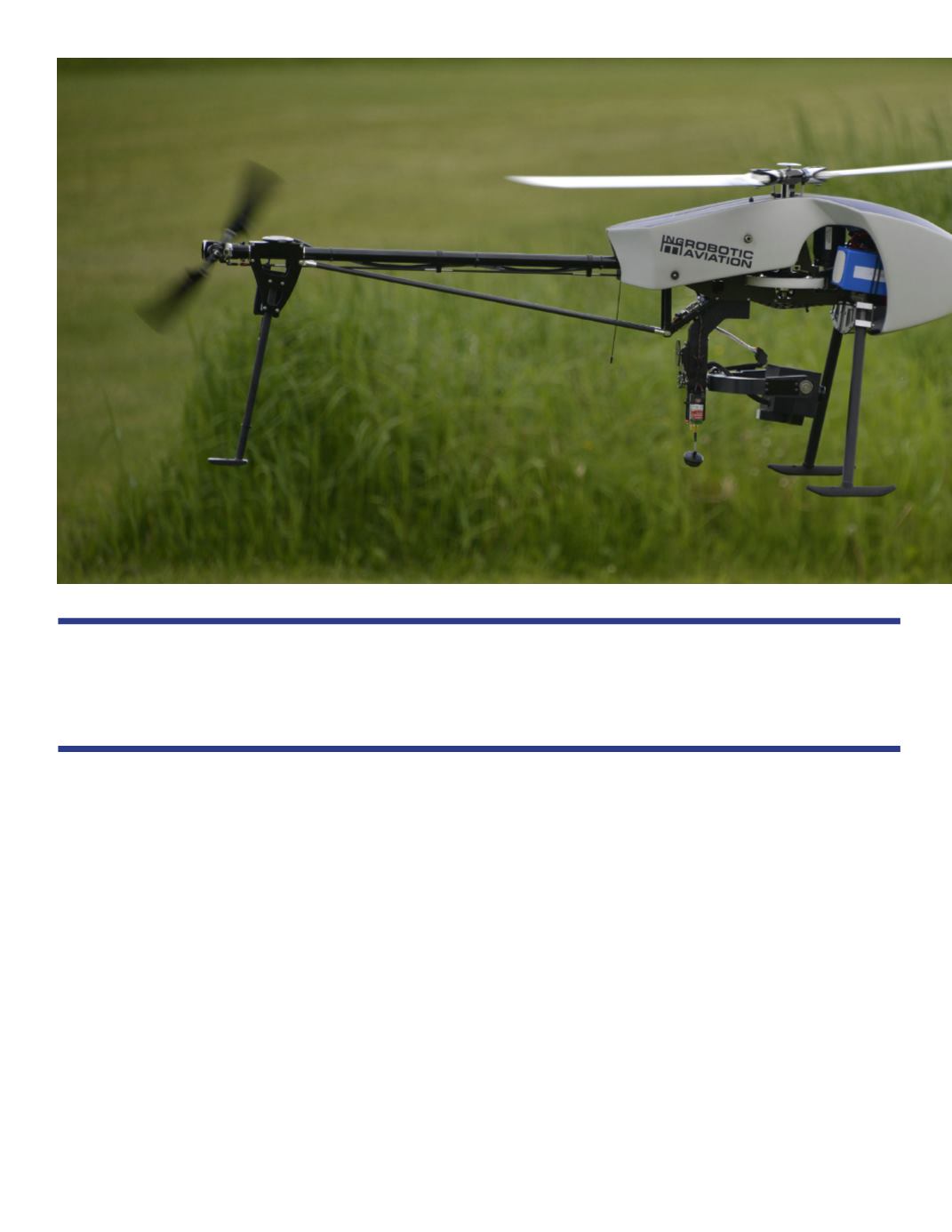
RESPONDER CAN OPERATE IN
HARSH WEATHER
The company has two different types of
aircraft intended for different purposes.The
Responder looks like a miniature helicop-
ter and is used to gather data for wildlife
“Existing regulations fortunately have allowed us to grow the business to where
it is today and to continue to expand.”


